
Borneo-eiland topographic map
Interactive map
Click on the map to display elevation.
About this map
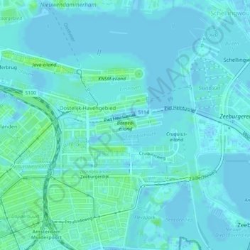
Name: Borneo-eiland topographic map, elevation, terrain.
Location: Borneo-eiland, Amsterdam, Hollande-Septentrionale, Pays-Bas (52.37033 4.93879 52.37290 4.95205)
Average elevation: 7 ft
Minimum elevation: -10 ft
Maximum elevation: 30 ft
Other topographic maps
Click on a map to view its topography, its elevation and its terrain.