Geolocate

G-94A topographic map

Interactive map

Click on the map to display elevation.

About this map

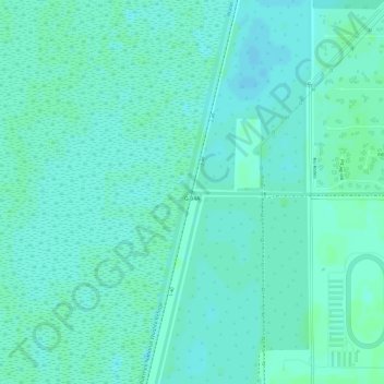
Name: G-94A topographic map, elevation, terrain.

Location: G-94A, Palm Beach County, Florida, 33498, United States of America (26.43498 -80.23001 26.43508 -80.22991)

Average elevation: 20 ft

Minimum elevation: 7 ft

Maximum elevation: 30 ft

Other topographic maps

Click on a map to view its topography, its elevation and its terrain.

Butler Beach

United States of America > Florida

Average elevation: 10 ft

Melody Key

United States of America > Florida

Average elevation: 0 ft

Lake Ashby

United States of America > Florida > Alamana

Average elevation: 20 ft

Boca Del Mar

United States of America > Florida

Average elevation: 26 ft

Fern Creek

United States of America > Florida > Orlando

Average elevation: 112 ft

New Pass

United States of America > Florida

Average elevation: 3 ft

Spring Lake

United States of America > Florida

Average elevation: 112 ft