
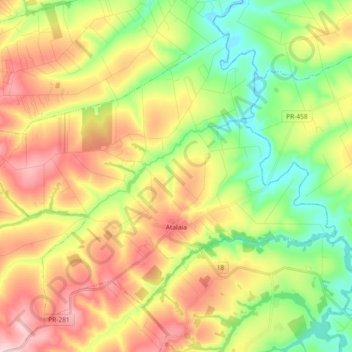
Atalaia topographic map
Interactive map
Click on the map to display elevation.
About this map
Name: Atalaia topographic map, elevation, terrain.
Average elevation: 1,457 ft
Minimum elevation: 1,135 ft
Maximum elevation: 1,854 ft
Other topographic maps
Click on a map to view its topography, its elevation and its terrain.
Itaipu Dam
Brazil > Paraná > Foz do Iguaçu
325 metres (1,066 ft), entire dam including the 100 metres (330 ft) high Power Line 4 Pylons atop the Barrage 260 metres (850 ft), dam + the foundation inside water until the river floor 247 metres (810 ft), 196 metres (643 ft) high of roof reinforcement concrete dam + Cranes atop the Barrage 225 metres (738…
Average elevation: 630 ft
Praça Brasil
Brazil > Paraná > Região Metropolitana de Curitiba > Fazenda Rio Grande
Average elevation: 2,936 ft
Rio Branco do Sul
Brazil > Paraná > Região Metropolitana de Curitiba > Rio Branco do Sul > Rio Branco do Sul
Average elevation: 3,169 ft