
Cave Spring topographic map
Interactive map
Click on the map to display elevation.
About this map
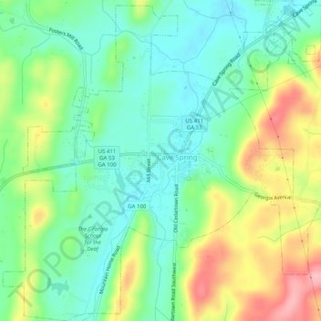
Name: Cave Spring topographic map, elevation, terrain.
Location: Cave Spring, Floyd County, Georgia, United States (34.08657 -85.36333 34.12769 -85.31400)
Average elevation: 771 ft
Minimum elevation: 600 ft
Maximum elevation: 1,086 ft
Floyd County trails, hiking, mountain biking, running and outdoor activities
Other topographic maps
Click on a map to view its topography, its elevation and its terrain.