
San Diego topographic map
Interactive map
Click on the map to display elevation.
About this map
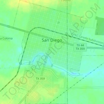
Name: San Diego topographic map, elevation, terrain.
Location: San Diego, Duval County, Texas, United States (27.74694 -98.25064 27.77454 -98.22084)
Average elevation: 315 ft
Minimum elevation: 282 ft
Maximum elevation: 351 ft
Duval County trails, hiking, mountain biking, running and outdoor activities
Other topographic maps
Click on a map to view its topography, its elevation and its terrain.