
Tagish topographic map
Interactive map
Click on the map to display elevation.
About this map
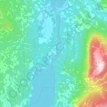
Name: Tagish topographic map, elevation, terrain.
Location: Tagish, Yukon, Y0B 1T0, Canada (60.22095 -134.34124 60.32841 -134.22551)
Average elevation: 2,490 ft
Minimum elevation: 2,133 ft
Maximum elevation: 4,209 ft