
Orono topographic map
Interactive map
Click on the map to display elevation.
About this map
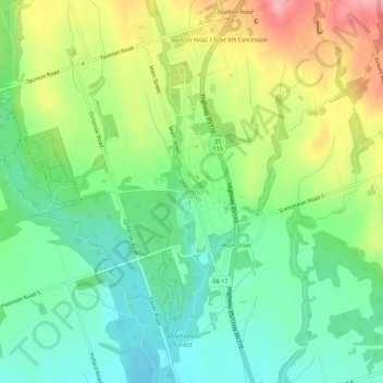
Name: Orono topographic map, elevation, terrain.
Location: Orono, Durham Region, Ontario, L0B 1M0, Canada (43.95503 -78.63645 43.99503 -78.59645)
Average elevation: 545 ft
Minimum elevation: 394 ft
Maximum elevation: 787 ft