
Long Island topographic map
Interactive map
Click on the map to display elevation.
About this map
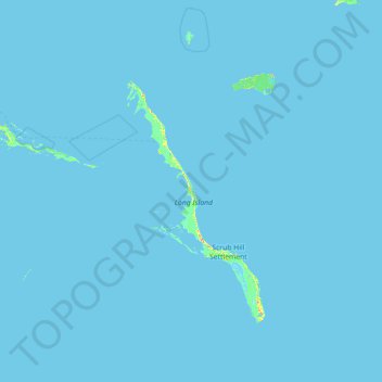
Name: Long Island topographic map, elevation, terrain.
Location: Long Island, Bahamas (22.65100 -75.62203 23.96066 -74.61007)
Average elevation: 0 ft
Minimum elevation: -3 ft
Maximum elevation: 141 ft
Other topographic maps
Click on a map to view its topography, its elevation and its terrain.