
Linkhout topographic map
Interactive map
Click on the map to display elevation.
About this map
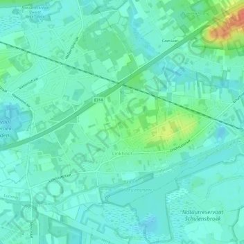
Name: Linkhout topographic map, elevation, terrain.
Location: Linkhout, Lummen, Hasselt, Limburg, België (50.95612 5.10846 50.98450 5.16422)
Average elevation: 79 ft
Minimum elevation: 43 ft
Maximum elevation: 200 ft
Other topographic maps
Click on a map to view its topography, its elevation and its terrain.
Thiewinkel
België > Limburg > Hasselt > Lummen
Thiewinkel, Lummen, Hasselt, Limburg, Vlaanderen, 3560, België
Average elevation: 85 ft