
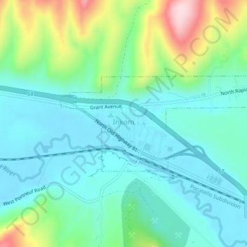
Inkom topographic map
Interactive map
Click on the map to display elevation.
About this map
Name: Inkom topographic map, elevation, terrain.
Location: Inkom, Bannock County, Idaho, United States (42.79061 -112.26408 42.80160 -112.22540)
Average elevation: 4,747 ft
Minimum elevation: 4,508 ft
Maximum elevation: 5,466 ft
Bannock County trails, hiking, mountain biking, running and outdoor activities
Other topographic maps
Click on a map to view its topography, its elevation and its terrain.