
Guelph topographic map
Interactive map
Click on the map to display elevation.
Guelph
This region of Ontario has cold winters and warm, humid summers, falling into the Köppen climate classification Dfb zone, with moderately high rainfall and snowfall. It is generally a couple of degrees cooler than lower elevation regions on the Great Lakes shorelines, especially so in winter, the exception being on some spring afternoons when the lack of an onshore breeze boosts temperatures well above those found lakeside.
About this map
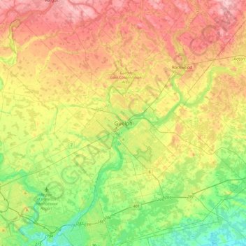
Name: Guelph topographic map, elevation, terrain.
Location: Guelph, Southwestern Ontario, Ontario, N1H 4E7, Canada (43.38605 -80.40933 43.70605 -80.08933)
Average elevation: 1,129 ft
Minimum elevation: 876 ft
Maximum elevation: 1,444 ft
Other topographic maps
Click on a map to view its topography, its elevation and its terrain.