
Blackshear topographic map
Interactive map
Click on the map to display elevation.
About this map
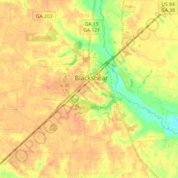
Name: Blackshear topographic map, elevation, terrain.
Location: Blackshear, Pierce County, Georgia, United States (31.24539 -82.31457 31.34991 -82.21013)
Average elevation: 125 ft
Minimum elevation: 49 ft
Maximum elevation: 161 ft
Other topographic maps
Click on a map to view its topography, its elevation and its terrain.
Patterson
United States > Georgia > Pierce County
Patterson, Pierce County, Georgia, 31557, United States
Average elevation: 108 ft
Aspinwall
United States > Georgia > Pierce County
Aspinwall, Pierce County, Georgia, United States
Average elevation: 135 ft