
Patterson topographic map
Click on the map to display elevation.
About this map
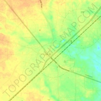
Name: Patterson topographic map, elevation, terrain.
Location: Patterson, Pierce County, Georgia, 31557, United States (31.35952 -82.17417 31.42510 -82.08753)
Average elevation: 108 ft
Minimum elevation: 49 ft
Maximum elevation: 148 ft
Pierce County trails, hiking, mountain biking, running and outdoor activities
Other topographic maps
Click on a map to view its topography, its elevation and its terrain.