
Aspinwall topographic map
Click on the map to display elevation.
About this map
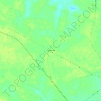
Name: Aspinwall topographic map, elevation, terrain.
Location: Aspinwall, Pierce County, Georgia, United States (31.41494 -82.19401 31.45494 -82.15401)
Average elevation: 135 ft
Minimum elevation: 105 ft
Maximum elevation: 148 ft
Pierce County trails, hiking, mountain biking, running and outdoor activities
Other topographic maps
Click on a map to view its topography, its elevation and its terrain.