
Kern River topographic map
Interactive map
Click on the map to display elevation.
About this map
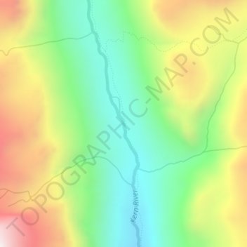
Name: Kern River topographic map, elevation, terrain.
Location: Kern River, Tulare County, California, USA (36.60893 -118.41973 36.61032 -118.41918)
Average elevation: 10,105 ft
Minimum elevation: 8,881 ft
Maximum elevation: 11,870 ft
Other topographic maps
Click on a map to view its topography, its elevation and its terrain.