
Rigby topographic map
Interactive map
Click on the map to display elevation.
Rigby
Rigby is at an elevation of 4,856 feet (1,480 m) above sea level.
About this map
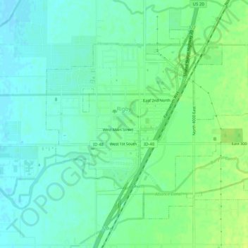
Name: Rigby topographic map, elevation, terrain.
Location: Rigby, Jefferson County, Idaho, 83442, United States (43.65927 -111.93360 43.68663 -111.88405)
Average elevation: 4,856 ft
Minimum elevation: 4,833 ft
Maximum elevation: 4,882 ft
Jefferson County trails, hiking, mountain biking, running and outdoor activities
Other topographic maps
Click on a map to view its topography, its elevation and its terrain.