
McComb topographic map
Interactive map
Click on the map to display elevation.
About this map
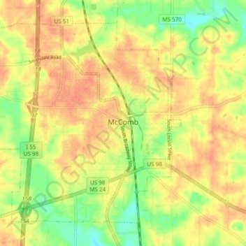
Name: McComb topographic map, elevation, terrain.
Location: McComb, Pike County, Mississippi, 39660, United States (31.21744 -90.51028 31.26945 -90.43559)
Average elevation: 413 ft
Minimum elevation: 328 ft
Maximum elevation: 466 ft
Pike County trails, hiking, mountain biking, running and outdoor activities
Other topographic maps
Click on a map to view its topography, its elevation and its terrain.