
Bismarck topographic map
Interactive map
Click on the map to display elevation.
About this map
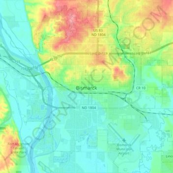
Name: Bismarck topographic map, elevation, terrain.
Location: Bismarck, Burleigh County, North Dakota, United States (46.75110 -100.84560 46.86705 -100.68851)
Average elevation: 1,716 ft
Minimum elevation: 1,617 ft
Maximum elevation: 1,985 ft
Burleigh County trails, hiking, mountain biking, running and outdoor activities
Other topographic maps
Click on a map to view its topography, its elevation and its terrain.