
Bountiful topographic map
Interactive map
Click on the map to display elevation.
About this map
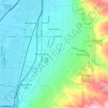
Name: Bountiful topographic map, elevation, terrain.
Location: Bountiful, Davis County, Utah, 84010, United States (40.83291 -111.90212 40.91028 -111.81538)
Average elevation: 4,846 ft
Minimum elevation: 4,199 ft
Maximum elevation: 7,087 ft
Davis County trails, hiking, mountain biking, running and outdoor activities
Other topographic maps
Click on a map to view its topography, its elevation and its terrain.