
Abilene topographic map
Interactive map
Click on the map to display elevation.
Abilene
Abilene is at 38°55′11″N 97°13′2″W / 38.91972°N 97.21722°W / 38.91972; -97.21722 (38.919721, −97.217329) at an elevation of 1,155 feet (352 m). The city is on the north side of the Smoky Hill River in the Flint Hills region of the Great Plains. Mud Creek, a tributary of the Smoky Hill, flows south through the city. Located in North Central Kansas at the intersection of Interstate 70 and K-15, Abilene is approximately 27 mi (43 km) east of Salina, Kansas, 94 mi (151 km) north of Wichita, and 139 mi (224 km) west of Kansas City.
About this map
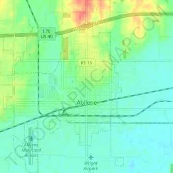
Name: Abilene topographic map, elevation, terrain.
Location: Abilene, Dickinson County, Kansas, United States (38.89601 -97.26351 38.94806 -97.19962)
Average elevation: 1,171 ft
Minimum elevation: 1,125 ft
Maximum elevation: 1,280 ft
Dickinson County trails, hiking, mountain biking, running and outdoor activities
Other topographic maps
Click on a map to view its topography, its elevation and its terrain.