
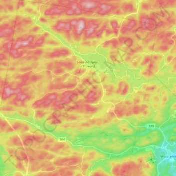
Saint-Adolphe-d'Howard topographic map
Interactive map
Click on the map to display elevation.
About this map
Name: Saint-Adolphe-d'Howard topographic map, elevation, terrain.
Average elevation: 1,391 ft
Minimum elevation: 728 ft
Maximum elevation: 1,946 ft
Other topographic maps
Click on a map to view its topography, its elevation and its terrain.
Club de Plein Air Saint Adolphe d'Howard
Canada > Quebec > Les Pays-d'en-Haut > Saint-Adolphe-d'Howard
Average elevation: 1,309 ft