
Saint-Louis-de-Blandford topographic map
Interactive map
Click on the map to display elevation.
About this map
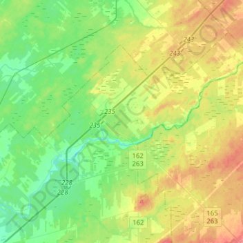
Name: Saint-Louis-de-Blandford topographic map, elevation, terrain.
Average elevation: 341 ft
Minimum elevation: 266 ft
Maximum elevation: 463 ft