
Hayti topographic map
Interactive map
Click on the map to display elevation.
About this map
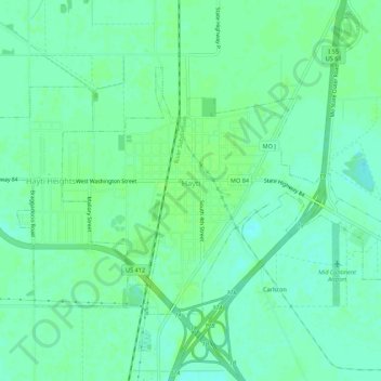
Name: Hayti topographic map, elevation, terrain.
Location: Hayti, Pemiscot County, Missouri, 63851, United States (36.21860 -89.76794 36.24698 -89.71366)
Average elevation: 269 ft
Minimum elevation: 249 ft
Maximum elevation: 282 ft
Pemiscot County trails, hiking, mountain biking, running and outdoor activities
Other topographic maps
Click on a map to view its topography, its elevation and its terrain.