Geolocate

Samford topographic map

Click on the map to display elevation.

About this map

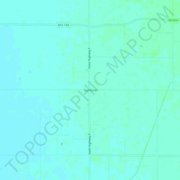
Name: Samford topographic map, elevation, terrain.

Location: Samford, Pemiscot County, Missouri, United States (36.05424 -89.93425 36.09424 -89.89425)

Average elevation: 256 ft

Minimum elevation: 246 ft

Maximum elevation: 269 ft

Pemiscot County trails, hiking, mountain biking, running and outdoor activities

Other topographic maps

Click on a map to view its topography, its elevation and its terrain.

Steele

United States > Missouri > Pemiscot County

Average elevation: 259 ft

Hayti

United States > Missouri > Pemiscot County

Average elevation: 269 ft

Gear up for your next adventure:

🧭Map Reading Tools - Tools and kits for map navigation
🎒Trekking Poles - Sturdy poles for balance and stability on rough terrain
🛡️Bear Spray Outdoor - Protection in bear country hikes
🔋Rechargeable Batteries - Power up your outdoor devices
📦Gear Storage Bags - Organize and protect outdoor equipment

As an Amazon Associate, this site earns from qualifying purchases at no extra cost to you.