
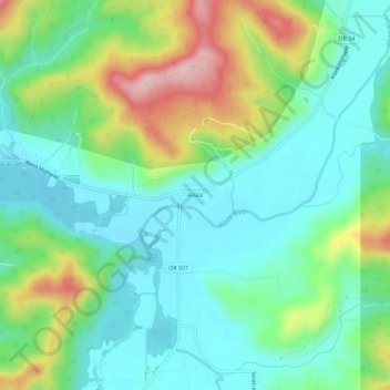
Alsea topographic map
Interactive map
Click on the map to display elevation.
About this map
Name: Alsea topographic map, elevation, terrain.
Location: Alsea, Benton County, Oregon, 97324, United States (44.36151 -123.61649 44.40151 -123.57649)
Average elevation: 505 ft
Minimum elevation: 243 ft
Maximum elevation: 1,125 ft
Benton County trails, hiking, mountain biking, running and outdoor activities
Other topographic maps
Click on a map to view its topography, its elevation and its terrain.