
Farragut topographic map
Interactive map
Click on the map to display elevation.
About this map
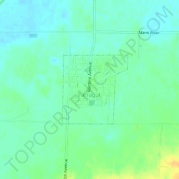
Name: Farragut topographic map, elevation, terrain.
Location: Farragut, Fremont County, Iowa, 51639, United States (40.71478 -95.48631 40.72518 -95.47329)
Average elevation: 958 ft
Minimum elevation: 928 ft
Maximum elevation: 1,020 ft
Fremont County trails, hiking, mountain biking, running and outdoor activities
Other topographic maps
Click on a map to view its topography, its elevation and its terrain.