
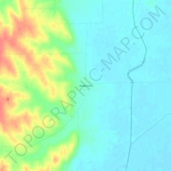
Anderson topographic map
Click on the map to display elevation.
About this map
Name: Anderson topographic map, elevation, terrain.
Location: Anderson, Fremont County, Iowa, 51652, United States (40.78045 -95.62437 40.82045 -95.58437)
Average elevation: 991 ft
Minimum elevation: 928 ft
Maximum elevation: 1,138 ft
Fremont County trails, hiking, mountain biking, running and outdoor activities
Other topographic maps
Click on a map to view its topography, its elevation and its terrain.