
Crooked Island and Long Cay topographic map
Interactive map
Click on the map to display elevation.
About this map
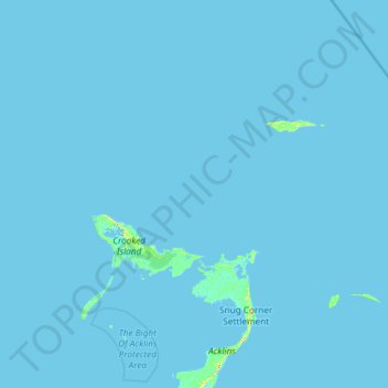
Name: Crooked Island and Long Cay topographic map, elevation, terrain.
Location: Crooked Island and Long Cay, The Bahamas (22.48600 -74.56634 23.30200 -73.38423)
Average elevation: 0 ft
Minimum elevation: -7 ft
Maximum elevation: 108 ft
Other topographic maps
Click on a map to view its topography, its elevation and its terrain.