Geolocate

Algood topographic map

Interactive map

Click on the map to display elevation.

About this map

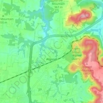
Name: Algood topographic map, elevation, terrain.

Location: Algood, Putnam County, Middle Tennessee, Tennessee, 38506, United States (36.17483 -85.46187 36.22432 -85.41942)

Average elevation: 1,152 ft

Minimum elevation: 974 ft

Maximum elevation: 1,509 ft

Putnam County trails, hiking, mountain biking, running and outdoor activities

Other topographic maps

Click on a map to view its topography, its elevation and its terrain.

Silver Point

United States > Tennessee > Putnam County

Average elevation: 955 ft

Samaria

United States > Tennessee > Putnam County

Average elevation: 1,024 ft

Walton Trace

United States > Tennessee > Putnam County > Cookeville

Average elevation: 1,099 ft

Eastwood

United States > Tennessee > Putnam County > Cookeville

Average elevation: 1,106 ft

Hillwood

United States > Tennessee > Putnam County > Cookeville

Average elevation: 1,060 ft

Ensor

United States > Tennessee > Putnam County > Baxter

Average elevation: 994 ft

Silver Point

United States > Tennessee > Putnam County

Average elevation: 955 ft