
Sweden topographic map
Interactive map
Click on the map to display elevation.
About this map
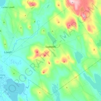
Name: Sweden topographic map, elevation, terrain.
Location: Sweden, Oxford County, Maine, 04040, United States (44.07710 -70.89877 44.18087 -70.73488)
Average elevation: 607 ft
Minimum elevation: 348 ft
Maximum elevation: 1,391 ft
Oxford County trails, hiking, mountain biking, running and outdoor activities
Other topographic maps
Click on a map to view its topography, its elevation and its terrain.