
Satsuma topographic map
Interactive map
Click on the map to display elevation.
About this map
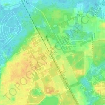
Name: Satsuma topographic map, elevation, terrain.
Location: Satsuma, Putnam County, Florida, 32189, United States (29.53497 -81.67591 29.57497 -81.63591)
Average elevation: 62 ft
Minimum elevation: 10 ft
Maximum elevation: 118 ft
Putnam County trails, hiking, mountain biking, running and outdoor activities
Other topographic maps
Click on a map to view its topography, its elevation and its terrain.