
Ellenton topographic map
Interactive map
Click on the map to display elevation.
About this map
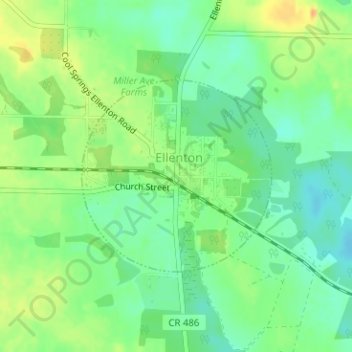
Name: Ellenton topographic map, elevation, terrain.
Location: Ellenton, Colquitt County, Georgia, 31747, United States (31.16859 -83.59614 31.18332 -83.57910)
Average elevation: 253 ft
Minimum elevation: 203 ft
Maximum elevation: 315 ft
Colquitt County trails, hiking, mountain biking, running and outdoor activities
Other topographic maps
Click on a map to view its topography, its elevation and its terrain.