
Whitetop topographic map
Interactive map
Click on the map to display elevation.
About this map
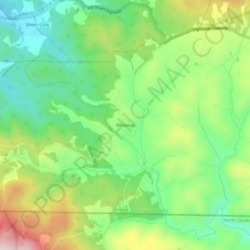
Name: Whitetop topographic map, elevation, terrain.
Location: Whitetop, Grayson County, Virginia, 24292, United States (36.58151 -81.64567 36.62151 -81.60567)
Average elevation: 3,632 ft
Minimum elevation: 3,127 ft
Maximum elevation: 4,475 ft
Grayson County trails, hiking, mountain biking, running and outdoor activities
Other topographic maps
Click on a map to view its topography, its elevation and its terrain.