
Waters Creek topographic map
Interactive map
Click on the map to display elevation.
About this map
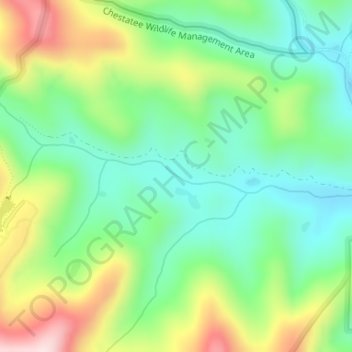
Name: Waters Creek topographic map, elevation, terrain.
Location: Waters Creek, Lumpkin County, Georgia, United States (34.67643 -83.96570 34.67894 -83.95270)
Average elevation: 2,175 ft
Minimum elevation: 1,745 ft
Maximum elevation: 2,956 ft
Lumpkin County trails, hiking, mountain biking, running and outdoor activities
Other topographic maps
Click on a map to view its topography, its elevation and its terrain.