
Rocky Mountains topographic map
Interactive map
Click on the map to display elevation.
Rocky Mountains
Agriculture and forestry are major industries. Agriculture includes dryland and irrigated farming and livestock grazing. Livestock are frequently moved between high-elevation summer pastures and low-elevation winter pastures, a practice known as transhumance.
About this map
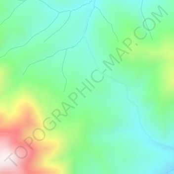
Name: Rocky Mountains topographic map, elevation, terrain.
Location: Rocky Mountains, Teton County, Wyoming, United States (43.35780 -110.91756 43.35790 -110.91746)
Average elevation: 7,520 ft
Minimum elevation: 6,857 ft
Maximum elevation: 9,085 ft
Teton County trails, hiking, mountain biking, running and outdoor activities
Other topographic maps
Click on a map to view its topography, its elevation and its terrain.
Alta
United States > Wyoming > Teton County
Alta is located just east of the Idaho state line, approximately 5 miles (8 km) east of Driggs, at an elevation of 6,440 feet (1,963 m) above sea level.
Average elevation: 8,127 ft