
Cypress Hills topographic map
Interactive map
Click on the map to display elevation.
About this map
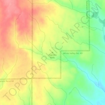
Name: Cypress Hills topographic map, elevation, terrain.
Location: Cypress Hills, Division No. 4, Saskatchewan, Canada (49.62512 -109.24964 49.62522 -109.24954)
Average elevation: 3,881 ft
Minimum elevation: 3,724 ft
Maximum elevation: 4,016 ft
Other topographic maps
Click on a map to view its topography, its elevation and its terrain.