
Noah topographic map
Interactive map
Click on the map to display elevation.
About this map
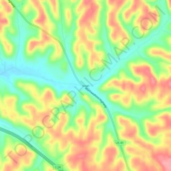
Name: Noah topographic map, elevation, terrain.
Average elevation: 1,027 ft
Minimum elevation: 863 ft
Maximum elevation: 1,198 ft
Coffee County trails, hiking, mountain biking, running and outdoor activities
Other topographic maps
Click on a map to view its topography, its elevation and its terrain.
Lake Tullahoma
United States > Tennessee > Coffee County > Tullahoma > Lake Tullahoma Estates
Average elevation: 1,056 ft
Old Stone Fort State Archaeological Park
United States > Tennessee > Coffee County > Manchester
The Duck River system spills over a limestone-rich shelf of the western Cumberland Plateau known as the Highland Rim. As the Duck and Little Duck approach their convergence, they rapidly drop in elevation, and have cut relatively deep gorges around the peninsula upon which the ancient structure is located.…
Average elevation: 1,037 ft