
Buxton topographic map
Interactive map
Click on the map to display elevation.
About this map
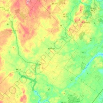
Name: Buxton topographic map, elevation, terrain.
Location: Buxton, York County, Maine, 04093, United States (43.55019 -70.61280 43.71581 -70.45774)
Average elevation: 200 ft
Minimum elevation: 26 ft
Maximum elevation: 417 ft
York County trails, hiking, mountain biking, running and outdoor activities
Other topographic maps
Click on a map to view its topography, its elevation and its terrain.