
Richwood topographic map
Interactive map
Click on the map to display elevation.
About this map
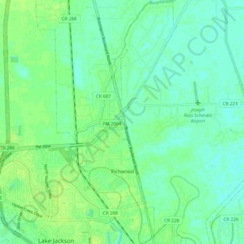
Name: Richwood topographic map, elevation, terrain.
Location: Richwood, Brazoria County, Texas, United States (29.03252 -95.42650 29.11112 -95.38992)
Average elevation: 20 ft
Minimum elevation: 0 ft
Maximum elevation: 36 ft
Brazoria County trails, hiking, mountain biking, running and outdoor activities
Other topographic maps
Click on a map to view its topography, its elevation and its terrain.