
Arroyo topographic map
Interactive map
Click on the map to display elevation.
About this map
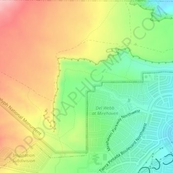
Name: Arroyo topographic map, elevation, terrain.
Location: Arroyo, Bernalillo County, New Mexico, 87125, USA (35.11118 -106.75791 35.11185 -106.75272)
Average elevation: 5,469 ft
Minimum elevation: 5,213 ft
Maximum elevation: 5,771 ft
Other topographic maps
Click on a map to view its topography, its elevation and its terrain.