
Sylva topographic map
Interactive map
Click on the map to display elevation.
About this map
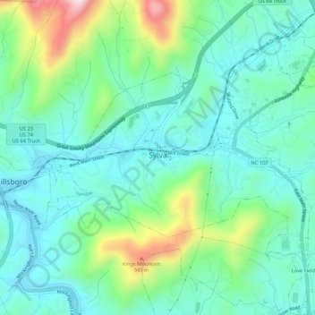
Name: Sylva topographic map, elevation, terrain.
Location: Sylva, Jackson County, North Carolina, 28779, United States (35.35178 -83.24307 35.39490 -83.19555)
Average elevation: 2,323 ft
Minimum elevation: 1,959 ft
Maximum elevation: 3,422 ft
Jackson County trails, hiking, mountain biking, running and outdoor activities
Other topographic maps
Click on a map to view its topography, its elevation and its terrain.