
Hatteras Island topographic map
Interactive map
Click on the map to display elevation.
About this map
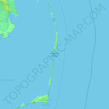
Name: Hatteras Island topographic map, elevation, terrain.
Location: Hatteras Island, Dare County, North Carolina, USA (35.19514 -75.73701 35.77377 -75.46012)
Average elevation: 0 ft
Minimum elevation: -7 ft
Maximum elevation: 30 ft
Other topographic maps
Click on a map to view its topography, its elevation and its terrain.