
Theresa topographic map
Interactive map
Click on the map to display elevation.
About this map
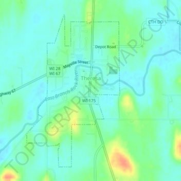
Name: Theresa topographic map, elevation, terrain.
Location: Theresa, Dodge County, Wisconsin, United States (43.50397 -88.46457 43.52670 -88.44525)
Average elevation: 965 ft
Minimum elevation: 925 ft
Maximum elevation: 1,066 ft
Dodge County trails, hiking, mountain biking, running and outdoor activities
Other topographic maps
Click on a map to view its topography, its elevation and its terrain.