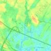
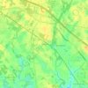
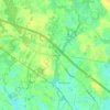
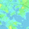
Click on a map to view its topography, its elevation and its terrain.
United States > Massachusetts > Plymouth County > Wareham > Tihonet
Average elevation: 52 ft
United States > Massachusetts > Plymouth County > Wareham
Average elevation: 20 ft
Average elevation: 72 ft
Average elevation: 75 ft
Average elevation: 69 ft
Average elevation: 16 ft
Average elevation: 23 ft
Average elevation: 26 ft
As an Amazon Associate, this site earns from qualifying purchases at no extra cost to you.