Isère topographic maps
Click on a map to view its topography, its elevation and its terrain.


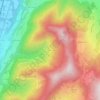
Mont Granier
France > Auvergne-Rhône-Alpes > Isère > Chapareillan
454 caves have been identified over an area of 2.8 km2, and form two networks under this small area. To the north, the trou des Auges, ressaut de 108 m, trou des Filous, grotte Arva, and Cuvée des Ours connect with the Granier system, located in the center of the plateau, to form a 55.725 km network over a…
Average elevation: 4,452 ft




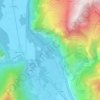
Paladru
France > Auvergne-Rhône-Alpes > Isère > Villages du Lac de Paladru
Average elevation: 1,890 ft




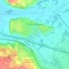
Lac de Paladru
France > Auvergne-Rhône-Alpes > Isère > Paladru
The lake area has a cool temperate climate. The north–south orientation and relatively high altitude means the average temperature is around 10 °C. Rainfall is irregular, with most rain occurring in June and October with the rise of humid air masses from the Mediterranean. January is the coldest month, with…
Average elevation: 1,867 ft
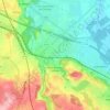
Allevard
France > Auvergne-Rhône-Alpes > Isère
The commune has a ski resort: the Collet d'Allevard which is located 10 km from the town (30 minutes drive). The altitude of the runs varies from 1,450m to 2,100m. The resort has 35 km of runs: 7 green, 6 blue, 5 red, and 3 black.
Average elevation: 3,225 ft
Méaudre
France > Auvergne-Rhône-Alpes > Isère > Autrans-Méaudre en Vercors
Average elevation: 3,845 ft
Voiron
France > Auvergne-Rhône-Alpes > Isère
The city is located 25 km (16 mi) northwest of Grenoble and 85 km (53 mi) southeast of Lyon. Voiron is at an altitude of 290 metres (950 feet), on the Morge (a tributary of the Isère).
Average elevation: 1,604 ft


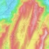
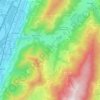
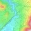
Uriage Les Bains
France > Auvergne-Rhône-Alpes > Isère > Saint-Martin-d'Uriage
Average elevation: 2,028 ft
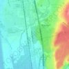
Bouvesse-Quirieu
France > Auvergne-Rhône-Alpes > Isère
Bouvesse-Quirieu is a modest rural commune situated in a hilly region. The village stands at an altitude of 220 m and is located about 30 km north-east of Bourgoin-Jallieu, in the northern part of the Isère department.
Average elevation: 833 ft
Grenoble
France > Auvergne-Rhône-Alpes > Isère
Except for a few dozen houses on the slopes of the Bastille hill of Chartreuse, Grenoble is exclusively built on the alluvial plain of the rivers Isère and Drac at an altitude of 214 metres (702 ft). As a result, the city itself is extremely flat. Mountain sports are an important tourist attraction in summer…
Average elevation: 807 ft
Roche Béranger
France > Auvergne-Rhône-Alpes > Isère > Chamrousse
The road to the ski station starts at Uriage-les-Bains from where the climb is 19 km (12 mi) long, gaining 1,235 m (4,052 ft) in elevation, at an average gradient of 6.5%. There are several sections in excess off 11% in the early stages of the climb. For the Tour de France, the summit is at an elevation of…
Average elevation: 5,121 ft
Les Brunières
France > Auvergne-Rhône-Alpes > Isère > Saint-Quentin-sur-Isère
Average elevation: 1,388 ft


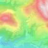
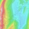
Hameau des Farlaix
France > Auvergne-Rhône-Alpes > Isère > Autrans-Méaudre en Vercors > Méaudre
Average elevation: 3,789 ft
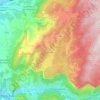
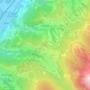
Les Bourdoires
France > Auvergne-Rhône-Alpes > Isère > Saint-Laurent-du-Pont
Average elevation: 2,060 ft