
Xhoffraix topographic map
Interactive map
Click on the map to display elevation.
About this map
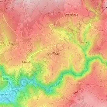
Name: Xhoffraix topographic map, elevation, terrain.
Location: Xhoffraix, Malmedy, Verviers, Liège, Wallonia, 4960, Belgium (50.43667 6.05020 50.47667 6.09020)
Average elevation: 1,663 ft
Minimum elevation: 1,129 ft
Maximum elevation: 1,985 ft