
Arlington topographic map
Interactive map
Click on the map to display elevation.
About this map
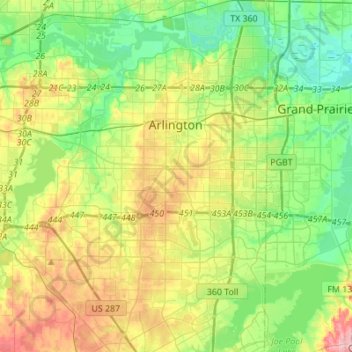
Name: Arlington topographic map, elevation, terrain.
Location: Arlington, Tarrant County, Texas, United States (32.58678 -97.23382 32.81712 -97.03701)
Average elevation: 571 ft
Minimum elevation: 410 ft
Maximum elevation: 860 ft
Tarrant County trails, hiking, mountain biking, running and outdoor activities
Other topographic maps
Click on a map to view its topography, its elevation and its terrain.