
East Portal Distributed Camping Area topographic map
Interactive map
Click on the map to display elevation.
About this map
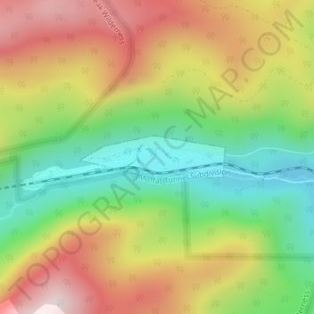
Name: East Portal Distributed Camping Area topographic map, elevation, terrain.
Average elevation: 9,977 ft
Minimum elevation: 9,032 ft
Maximum elevation: 11,056 ft
Gilpin County trails, hiking, mountain biking, running and outdoor activities
Other topographic maps
Click on a map to view its topography, its elevation and its terrain.