
Wavell topographic map
Click on the map to display elevation.
About this map
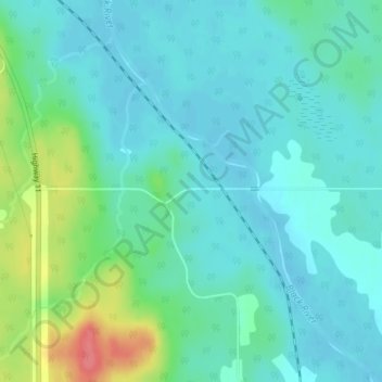
Name: Wavell topographic map, elevation, terrain.
Average elevation: 997 ft
Minimum elevation: 945 ft
Maximum elevation: 1,168 ft
Other topographic maps
Click on a map to view its topography, its elevation and its terrain.
Painkiller Lake
Canada > Ontario > Cochrane District > Black River-Matheson Township
Average elevation: 991 ft
Borgford Lake
Canada > Ontario > Cochrane District > Black River-Matheson Township
Average elevation: 1,135 ft
Watabeag River
Canada > Ontario > Cochrane District > Black River-Matheson Township
Average elevation: 856 ft