Geolocate

Bhamboli topographic map

Click on the map to display elevation.

About this map

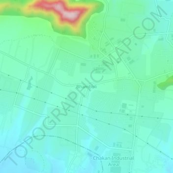
Name: Bhamboli topographic map, elevation, terrain.

Location: Bhamboli, Khed, Pune, Maharashtra, India (18.76555 73.74405 18.80555 73.78405)

Average elevation: 2,218 ft

Minimum elevation: 1,988 ft

Maximum elevation: 3,143 ft

Other topographic maps

Click on a map to view its topography, its elevation and its terrain.

Khed

India > Maharashtra > Khed

Average elevation: 2,231 ft

Gear up for your next adventure:

👓Polarized Sunglasses - Outdoor sunglasses for glare reduction
Camping Coffee Makers - Enjoy premium coffee at the summit or campsite
🛶Inflatable Kayak - Portable kayak for rivers, lakes, and expeditions
🎒Hydration Pack - Hands‑free water reservoir for long hikes
🌎3D Topographic Globes - Raised relief globes for a tactile understanding of geography

As an Amazon Associate, this site earns from qualifying purchases at no extra cost to you.